
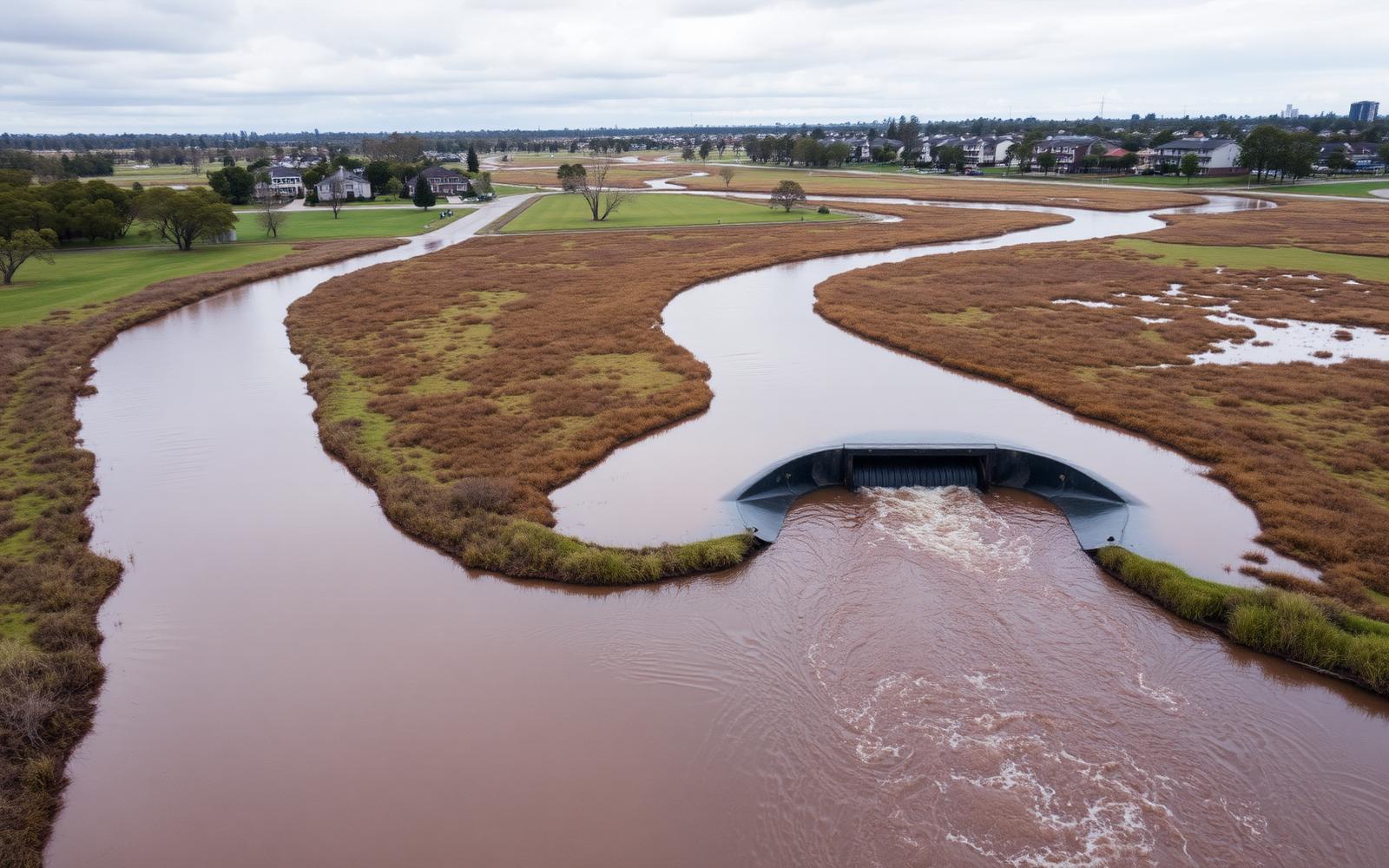
Service
Flood Analysis
Hydrologic and hydraulic modelling that defines flood behaviour on constrained sites and demonstrates no-worsening outcomes to the satisfaction of council.
Overview
How we approach flood analysis
Flood behaviour governs what a site can carry. We establish existing conditions first, then test the development against them so that levels, layout and drainage are set on evidence rather than assumption.
Our flood work covers catchment hydrology, 1D and 2D hydraulic modelling, afflux and impact assessment, freeboard strategy and safe overland flow paths, documented in a format councils and certifiers can assess directly.
Scope of work
Catchment Hydrology
Rainfall-runoff modelling to ARR guidance for a full range of design events.
1D / 2D Hydraulic Modelling
Network and overland modelling in DRAINS, HEC-RAS and 2D flood packages.
Flood Impact Statements
Afflux, velocity and hazard comparison demonstrating no worsening of flood behaviour.
Overland Flow Assessment
Safe conveyance of major storm flows around buildings, access and communal areas.
Flood Planning Levels
Freeboard strategy and habitable floor level advice for constrained sites.
Flood Emergency & Risk Advice
Hazard categorisation, evacuation context and risk-to-life commentary for planning.
Why Aetera
Advantages you can measure
Evidence-based levels
Flood planning levels and freeboard derived from modelling, not conservative guesswork that costs yield.
No-worsening demonstrated
Pre and post-development comparison presented clearly so the assessing officer can sign it off.
Design integration
Flood outcomes feed directly into grading, detention and structural levels within the same office.
Process
From brief to built
Data & Context
Survey, council flood study data, catchment delineation and constraint review.
Existing Conditions
Hydrologic and hydraulic modelling of the pre-development case.
Impact Assessment
Developed case modelling, afflux comparison and mitigation testing.
Reporting
Flood impact statement, mapping and flood planning level recommendations.
Approvals
Council review support, RFI responses and design integration.
Get in touch
Need flood analysis on your project?
Send through your drawings, survey or site address and we will come back with a clear scope and fee proposal.